Overview
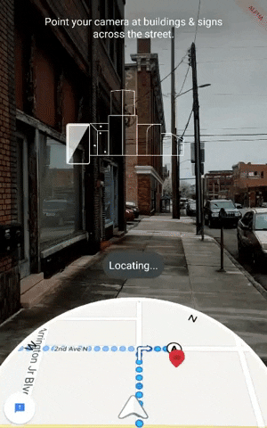
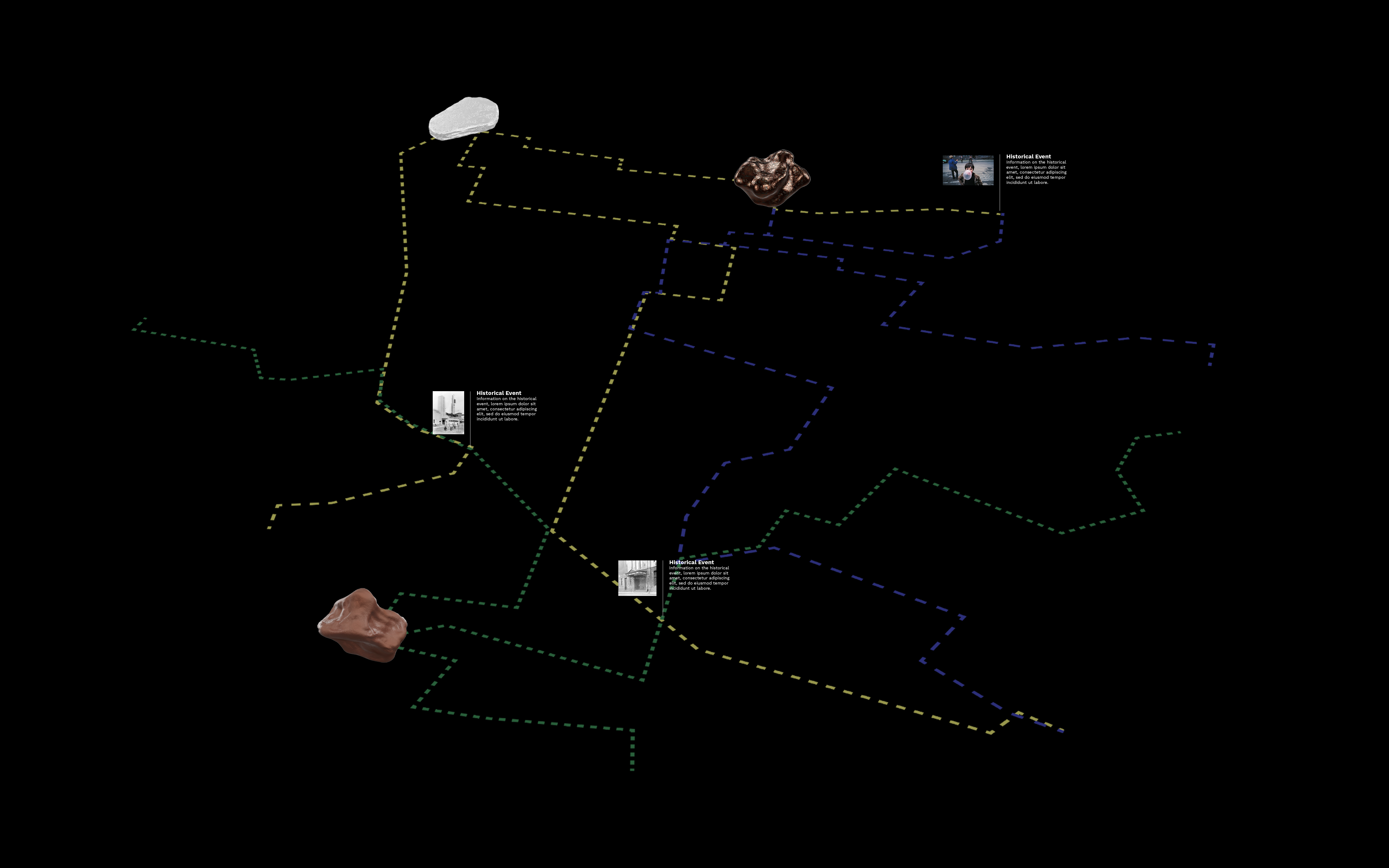
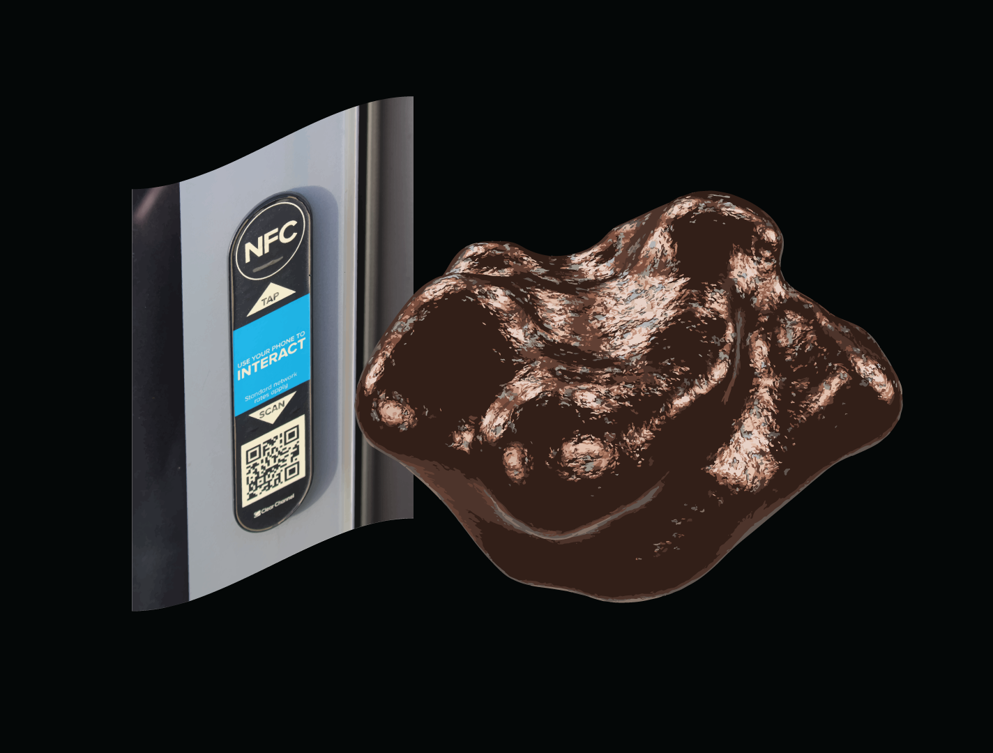
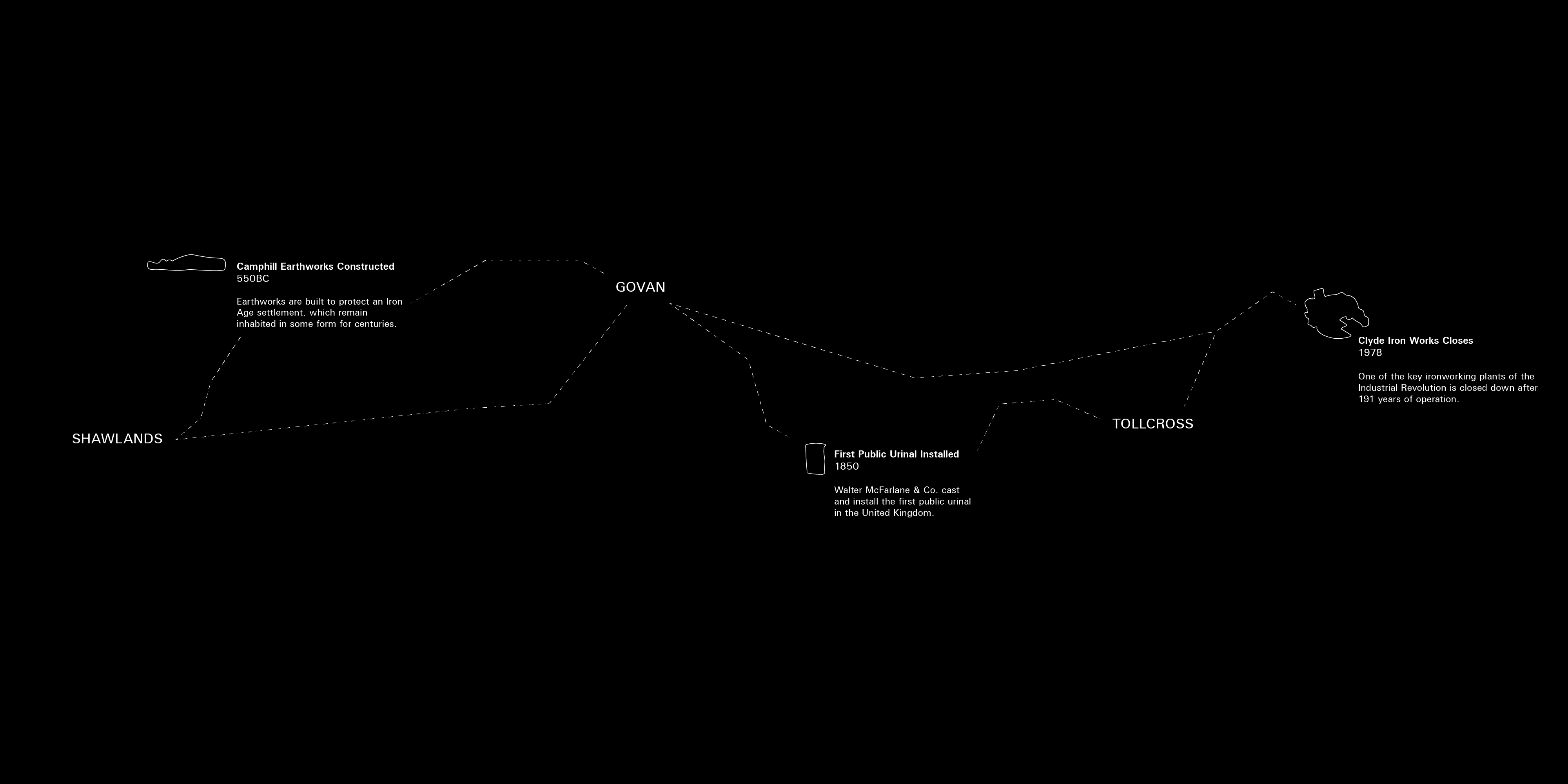
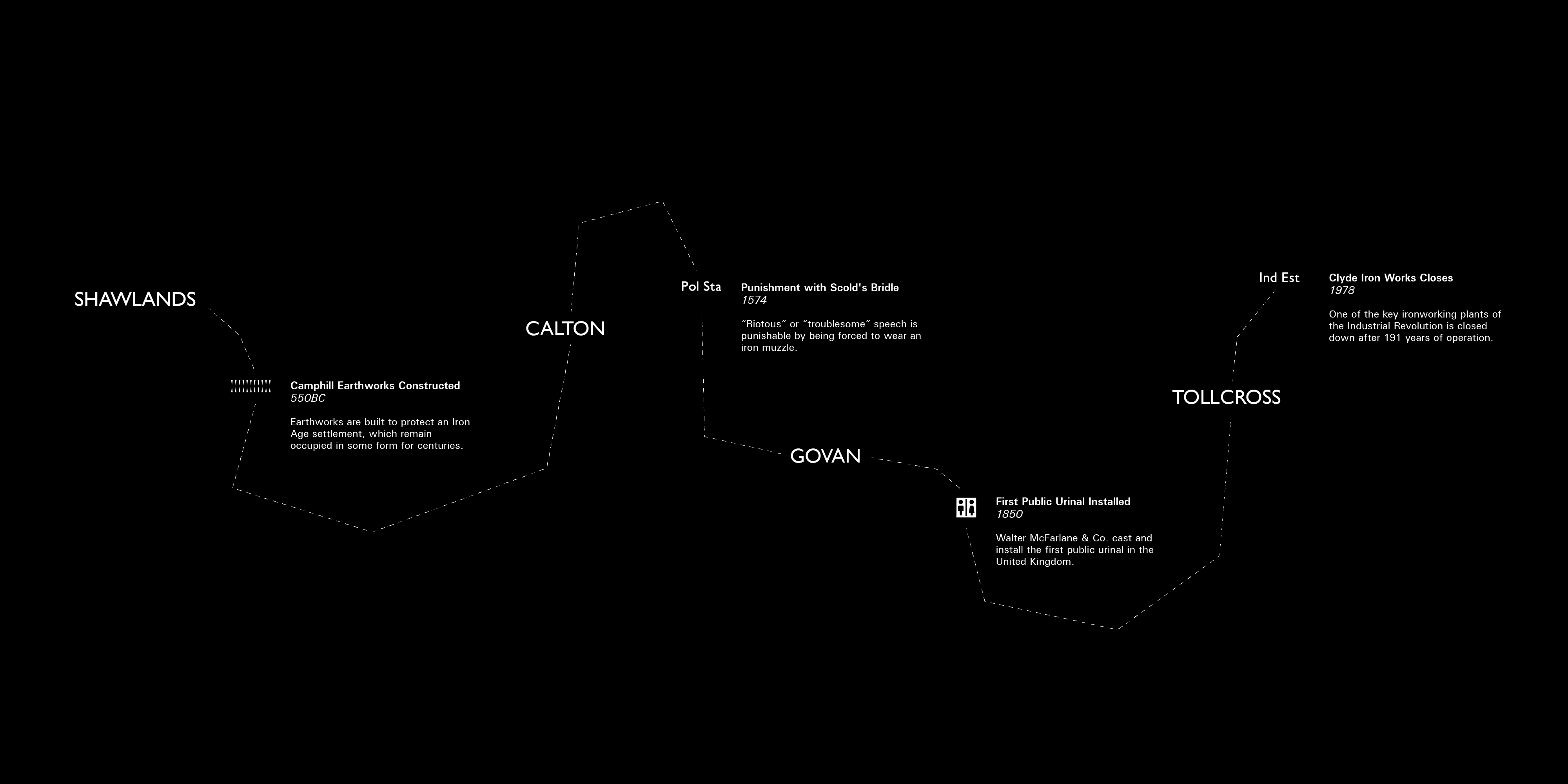
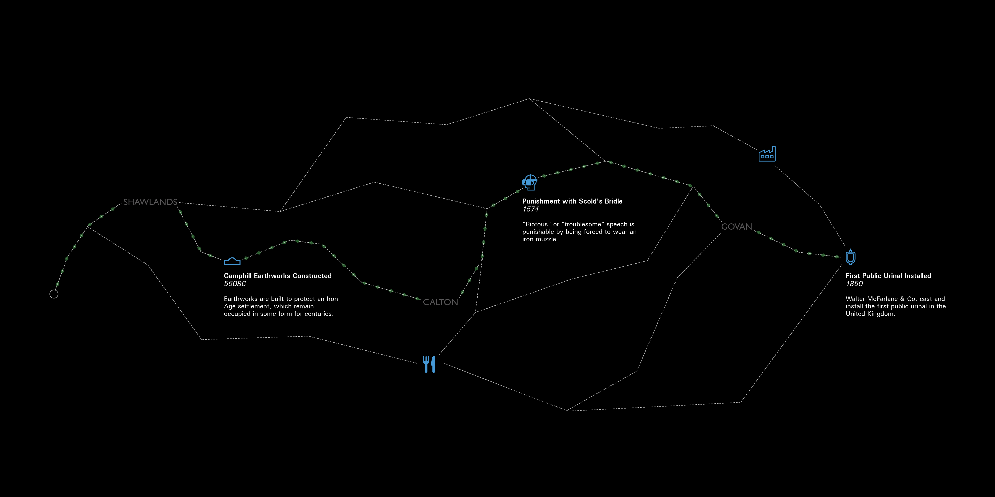
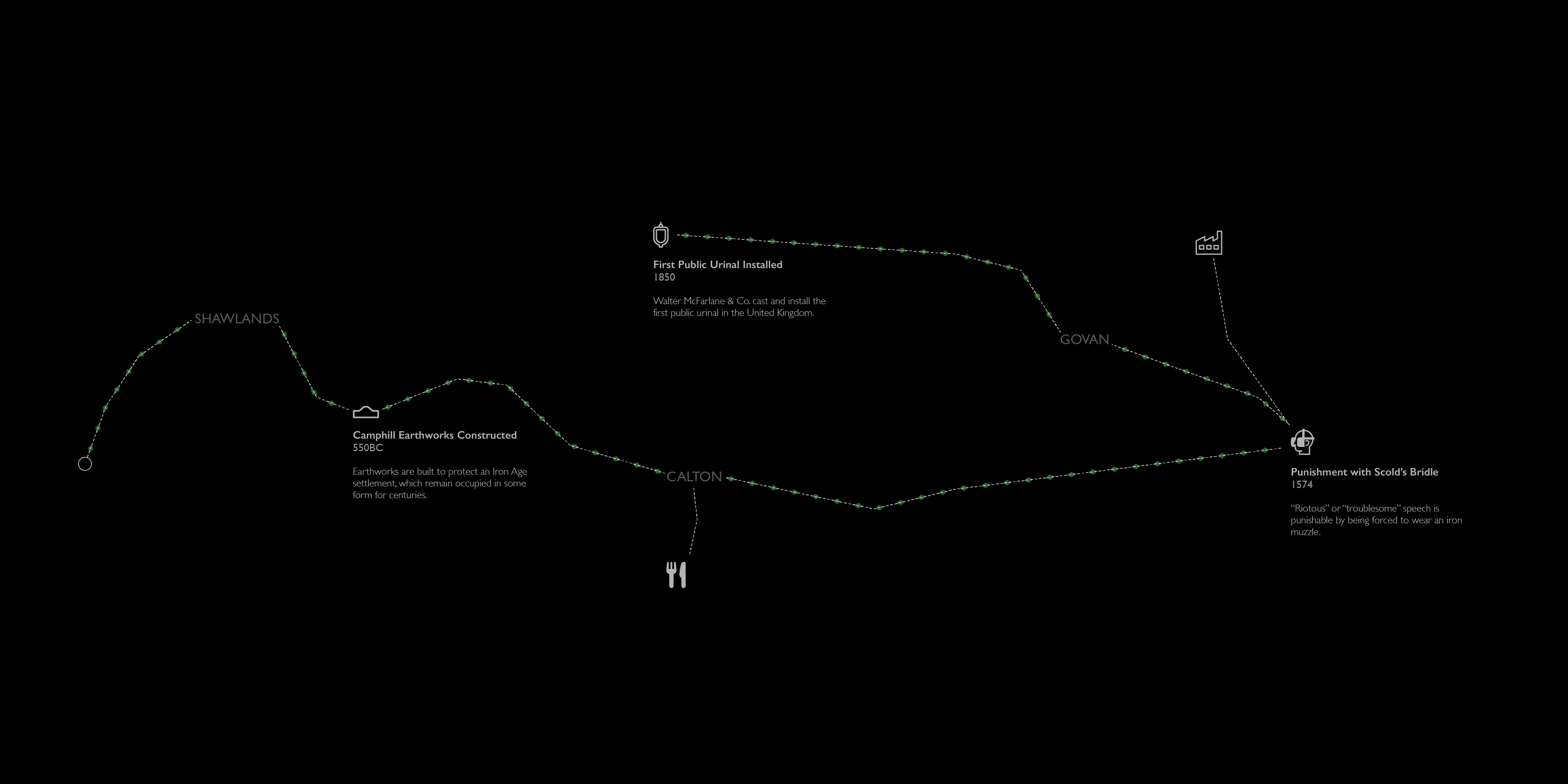
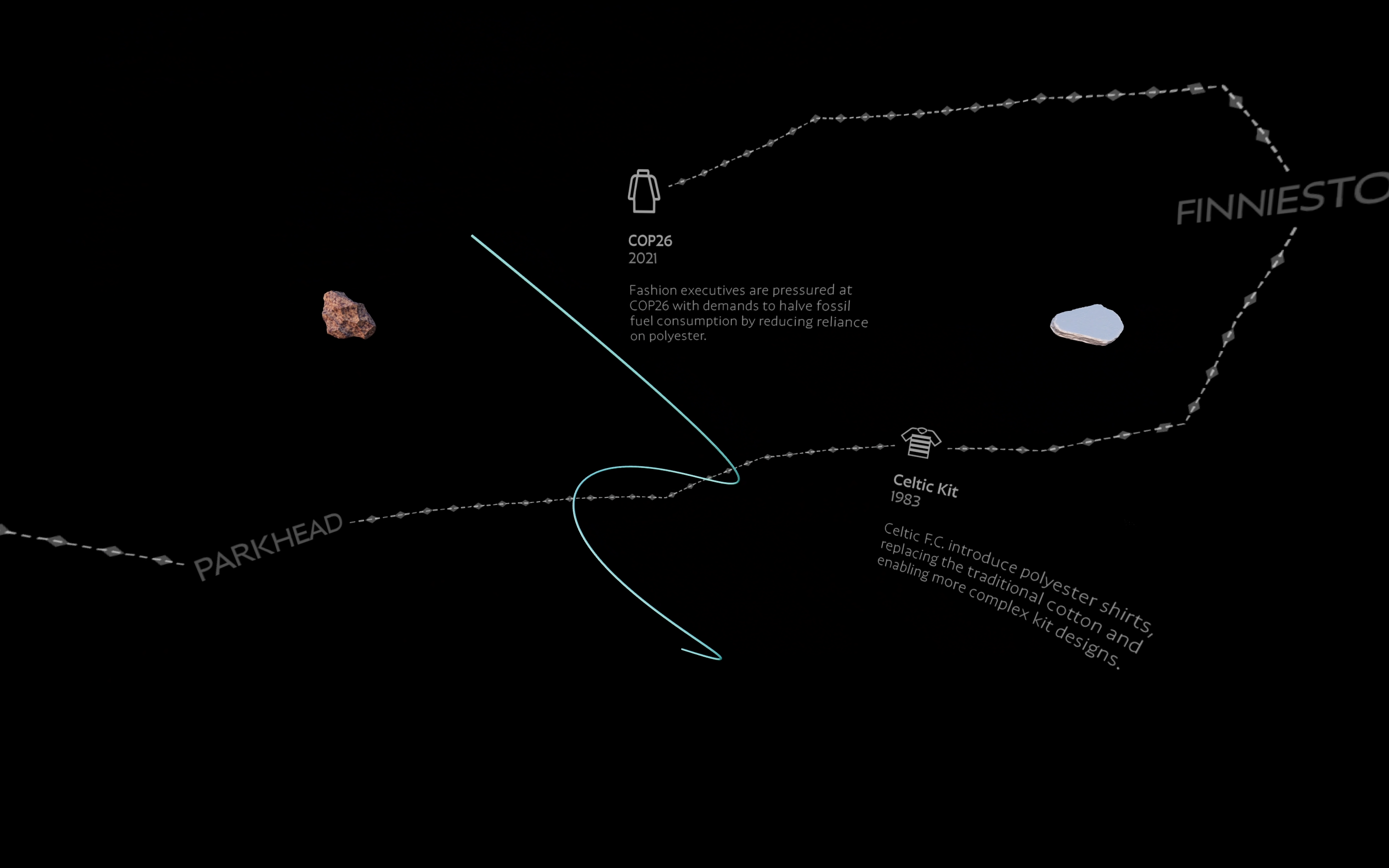
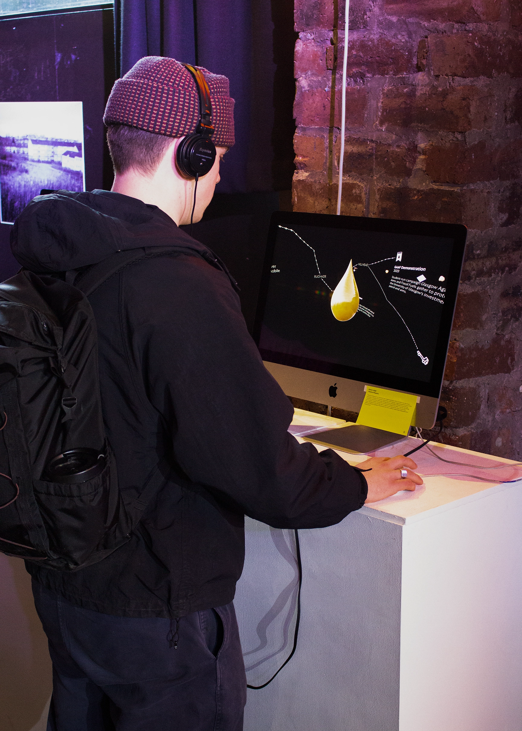
Relational Mapping is an immersive web-based experience which highlights Glasgow's rich history in the form of an interactive, 3D digital environment.
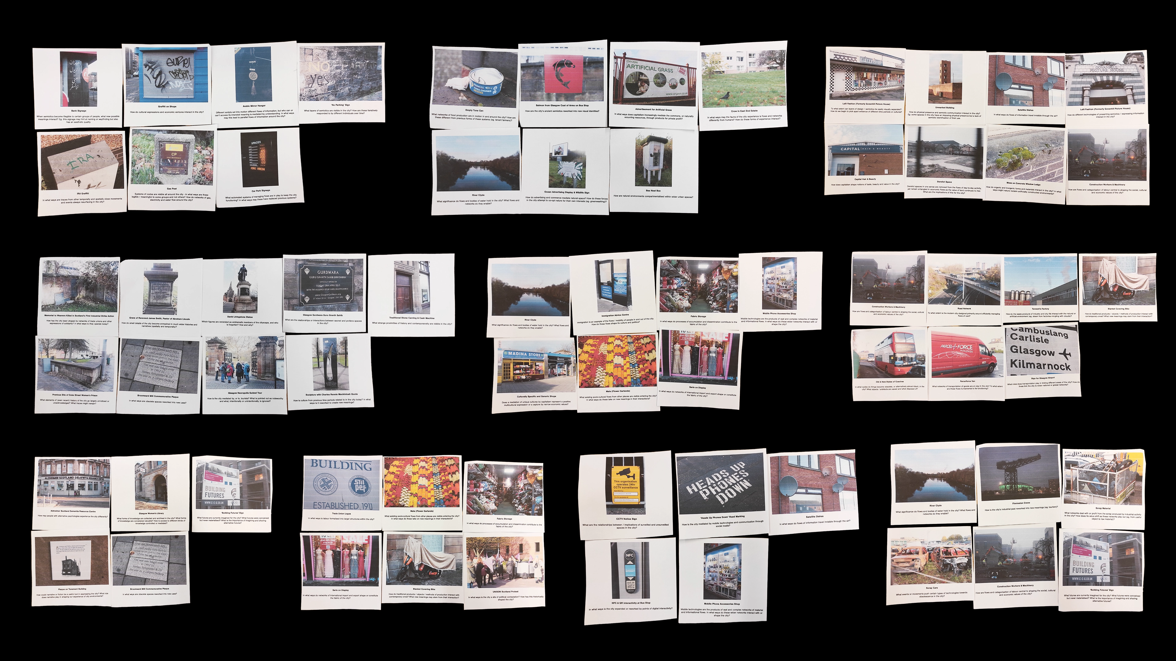
My role was end-to-end designer, taking the project from research through to a live, publicly accessible website.
The outcome was an experimental interactive presented at exhibition to an estimated 25,000 in-person visitors.